SHERPA
SHARED HIGH-EFFICIENCY RESILIENCE PLATFORM ON-BOARD AI
Introduction
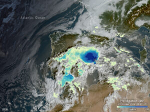
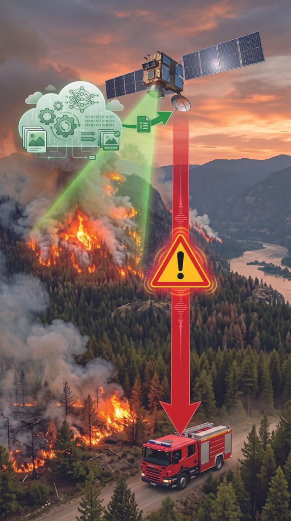
Traditional Earth Observation is too slow for emergencies. Currently, satellites must capture heavy raw imagery and wait until they fly over a ground station to downlink it for processing, creating delays of hours or even days. SHERPA improves climate disaster monitoring by processing satellite imagery directly in space using on-board artificial intelligence. By developing a multi-tenant satellite platform, it makes advanced space-based prevention financially affordable and accessible for local institutions and public administrations, delivering critical early warnings to emergency teams in minutes.
Objectives
• Develop and validate a qualifiable, adaptable, safe, and secure European satellite platform capable of processing EO data on-board using edge-AI.
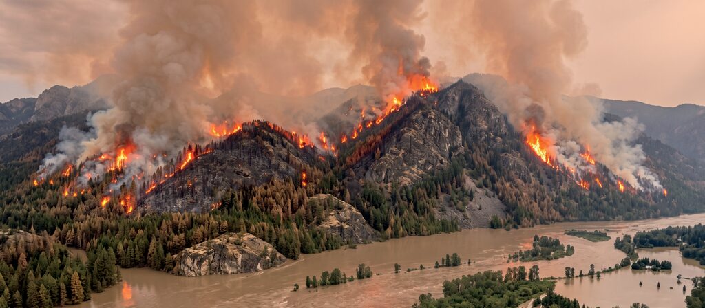
• Enable real-time detection and warning of climate disasters, such as floods and wildfires, by compressing emergency response latencies from hours to minutes.
• Democratize space access to non-space entities, such as local governments and prevention agencies, allowing them to leverage orbital assets for climate resilience.
• Shift from rigid, single-purpose space missions to versatile platforms capable of on-the-fly updates to maximize asset utilization for satellite operators.
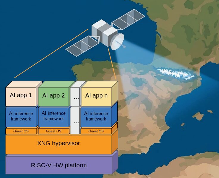
SHERPA integrates BSC’s RISC-V METASAT-based hardware, FENTISS’s XNG hypervisor, and Klepsydra’s AI engine to build a secure “space supercomputer,” enabling a multi-tenant “satellite-as-a-service” model to safely run concurrent in-orbit AI applications.
Impact on Climate Resilience
SHERPA drives a major paradigm shift in Earth Observation services for climate resilience by replacing the legacy “store-and-forward” model with an active, on-board Edge-AI model. The satellite platform to be developed represents a significant step forward, executing early warning algorithms directly in orbit to bypass the downlink bottleneck. By analyzing remote sensing data directly in orbit, satellite assets act as “digital sherpas” guiding emergency teams in real time.
Furthermore, the platform delivers high operational flexibility through secure multi-tenancy, enabling a single organization to update models on the fly to address seasonal threats—e.g., tracking wildfires in summer and swapping to other events in winter—while allowing multiple regional agencies to securely share the same satellite to monitor different geographic regions simultaneously without mutual interference.
From Lab to Market: Customers and Commercial Roadmap
SHERPA seeks to bridge the gap between deep-tech R&D and commercial markets, targeting local and regional governments requiring rapid early warning systems, and satellite operators seeking to maximize constellation revenues.
The commercial roadmap begins with the maturation of a technology initially developed in the METASAT EU funded project and its validation utilizing real datasets from historical Spanish climate events.
Active involvement of key actors in the climate resilience action chain, such as the Valencia’s Forest Fire Prevention Division, will ensure that platform requirements will align with real-world operational needs.
Ultimately, the consortium will leverage this validation to pursue an In-Orbit Demonstration flight, establishing critical space heritage and proving the technology’s space-readiness.