JUPITER
AI-ENHANCED SATELLITE MONITORING OF CLIMATE-DRIVEN GEOHAZARDS
Introduction
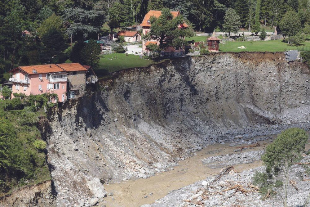
Extreme rainfall and flooding can trigger ground instability, landslides and collapses, creating growing risks to people and infrastructure. JUPITER addresses the gap between existing static geohazard inventories and dynamic, operational monitoring by combining globally available Sentinel InSAR data with advanced InSAR and AI-based processing. The project supports both the Prevention and Emergency Response phases of the civil protection cycle.
Objectives
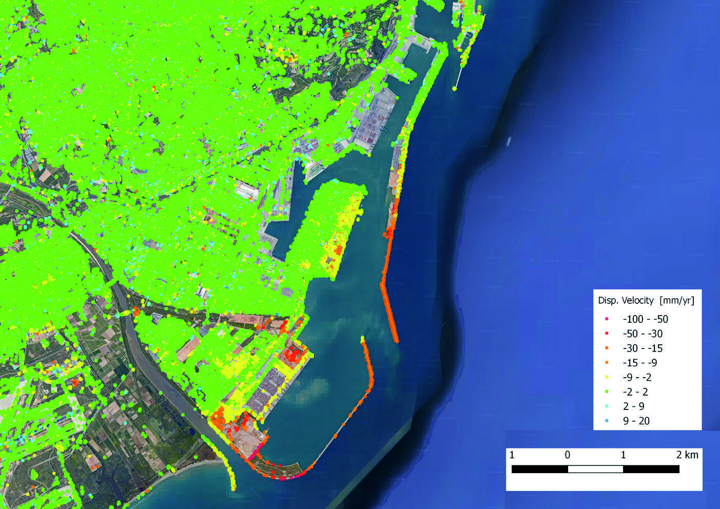
• Generate Active Deformation Area (ADA) maps covering slow and fast ground deformation and analyse their dependence on rainfall.
• Automatically classify ADAs using AI and auxiliary geospatial information to generate thematic hazard maps.
• Provide timely AI-based mapping of collapses and fast landslides during and immediately after emergencies.
• Develop and validate operational and scalable tools for Civil Protection Authorities.
TJUPITER exploits Sentinel-1 and complementary InSAR data, advanced InSAR processing and AI to cover the full monitoring chain—from long-term deformation analysis to near-real-time emergency mapping.
AI-driven automation, rainfall-deformation analysis and auxiliary geospatial information will improve coverage and interpretation while reducing latency and manual processing.
Impact on Climate Resilience
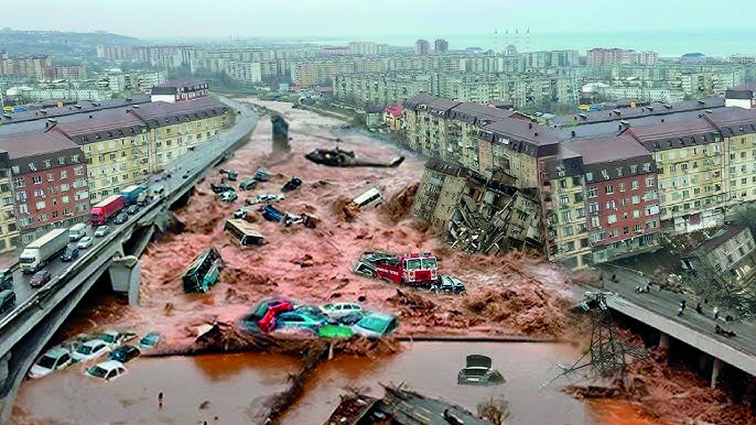
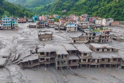
Climate change is expected to increase the severity and frequency of extreme rainfall and flooding and their associated ground-instability hazards.
JUPITER supports climate resilience through continuous deformation monitoring, earlier identification of hazardous trends, improved hazard mapping and timely information during emergencies. This supports prevention, preparedness, crisis management and long-term risk-informed planning.
From Lab to Market: Customers and Commercial Roadmap
JUPITER targets Civil Protection Authorities, geological and geographical institutions, land-use and urban planning authorities, and infrastructure managers.
Regional Civil Protection Authorities in Granada and the Valencian Community participate as end users, while IGME supports scientific exploitation and validation.
The project will mature advanced SAR- and AI-based technologies into operational services. Following user validation, the solutions will be refined into standardised services and integrated into existing Civil Protection workflows.
GeoKinesia will lead commercial exploitation, initially targeting Spain and subsequently wider European markets.